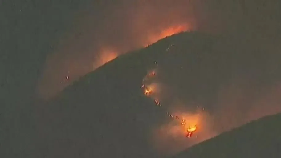
SAN DIEGO (FOX 5/KUSI) — As crews work to gain containment on the Border 2 Fire in southern San Diego County, Cal Fire is providing a three-dimensional map of the fire, showing evacuations and its perimeter.
As of Friday afternoon, the Border 2 Fire had burned roughly 5,400 acres in the Otay Mountain Wilderness towards the lower Otay Reservoir and remains 10% contained.
The 3D map below shows the area where the Border 2 Fire has burned, responding aircraft, evacuation orders and warnings, and other resources.
Map not displaying correctly? Click here.
Temporary evacuation points for communities impacted by the wildfire have been established at Regal Edwards Cinemas Rancho San Diego, located at 2951 Jamacha Rd. in El Cajon, and Southwestern College, located at 900 Otay Lakes Rd. in Chula Vista.
An overnight evacuation point has been opened at Cuyamaca College Gym at 900 Rancho San Diego Pkwy in El Cajon.
Copyright 2025 Nexstar Media Inc. All rights reserved. This material may not be published, broadcast, rewritten, or redistributed.


